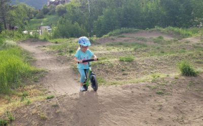
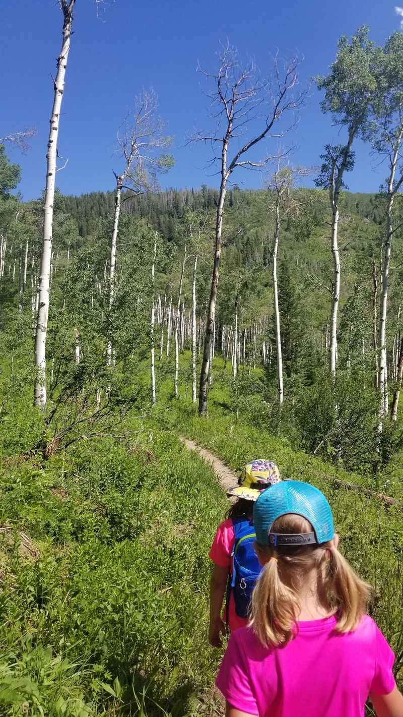
Some hikes are popular and can be crowded, and by crowded I mean you won’t go 10 minutes without seeing someone. But most hikes around Steamboat are a great way to spend a few hours chatting uninterrupted with a friend or enjoying some solitude.
Hiking is a four season activity in these parts, requiring snowshoes or ice traction devices like Yaktrax as the white stuff falls. It’s important to note that some areas are closed in the winter season due to avalanche concerns, too much snow, or wildlife conservation, and in the Spring some trails are still too muddy or snowy to enjoy. Just do some research before embarking on a trail and make sure to check the posted signs at the trailhead.
Here is a quick guide to 10 different types of hikes found within an hour of town. I’ve done all of these at least once so I’m writing from personal experience.
1. Fish Creek Falls
(¼ mile to bridge at lower falls, 0.5 miles on Overlook trail, 2.5 miles to the Upper Falls – all one way)
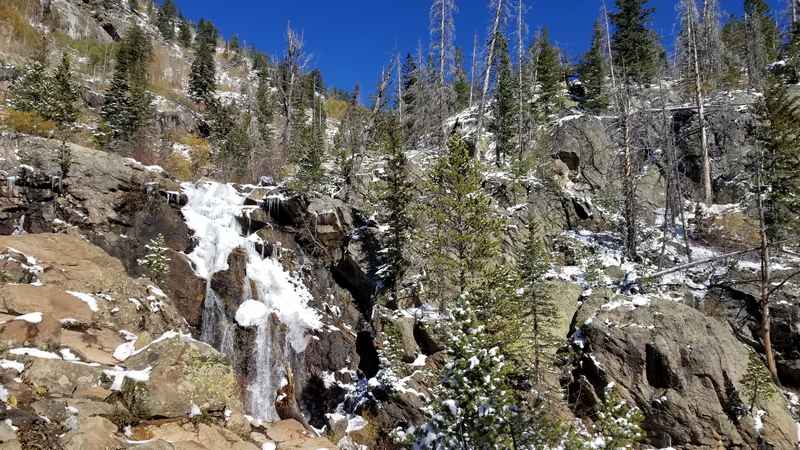
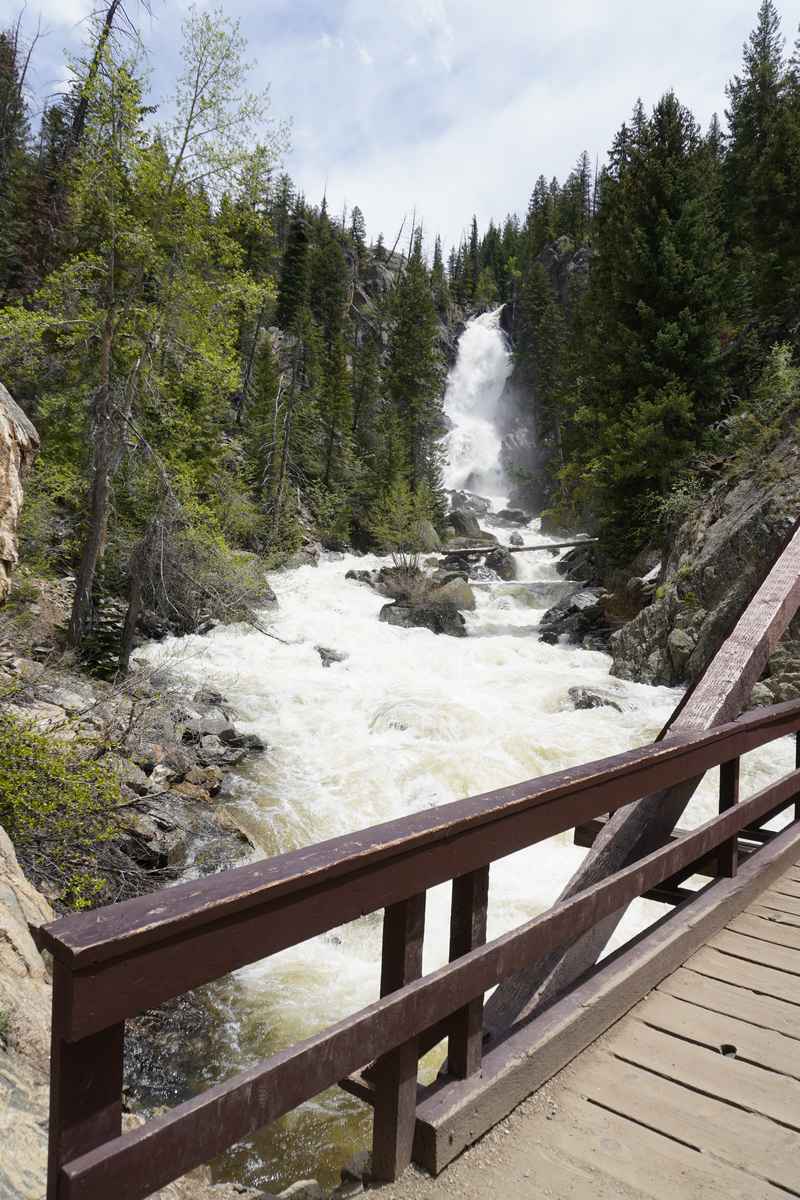
Start downhill on the trail and in a short ¼ mile hike, you arrive at the bridge beneath the breath-taking, nearly 300 foot tall waterfall. Another option from the parking lot is to take the sidewalk to the left of the main trailhead to get on the Overlook Trail that provides expansive views of the valley and elevated views of Fish Creek Falls. We’ve often walked on all of these short trails with little kids so it’s all very doable for families.
If you are feeling adventurous (and are without small children), continue past the bridge and waterfall on the trail to the Upper Falls. This is one of the most beautiful hikes close to town. It takes you on a 2.5 mile moderate steady uphill climb to the Upper Falls of Fish Creek. As you start to get close, you will cross another bridge and climb a rocky ridge before reaching the Upper Falls. The trail does continue beyond the Upper Falls to Long Lake, which is an additional 3-4 miles.
Note: There is a $5 fee to pay the USFS to use the parking lot.
https://www.alltrails.com/trail/us/colorado/fish-creek-falls-trail
2. Spring Creek
(4.5 miles on entire trail, one way)
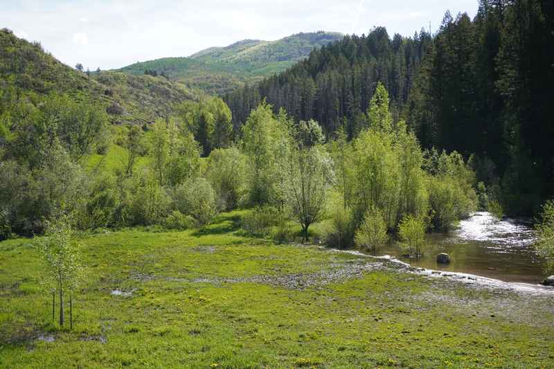
Follow the trail just to the left of the shelter to take a 0.4 mile loop around the largest, further pond. If you continue on the main trail to the left of this area, you will continue on the Spring Creek trail for another 4 miles uphill to Dry Lake Campground on Buffalo Pass. On this trek, you will pass over the creek on 14 numbered bridges.
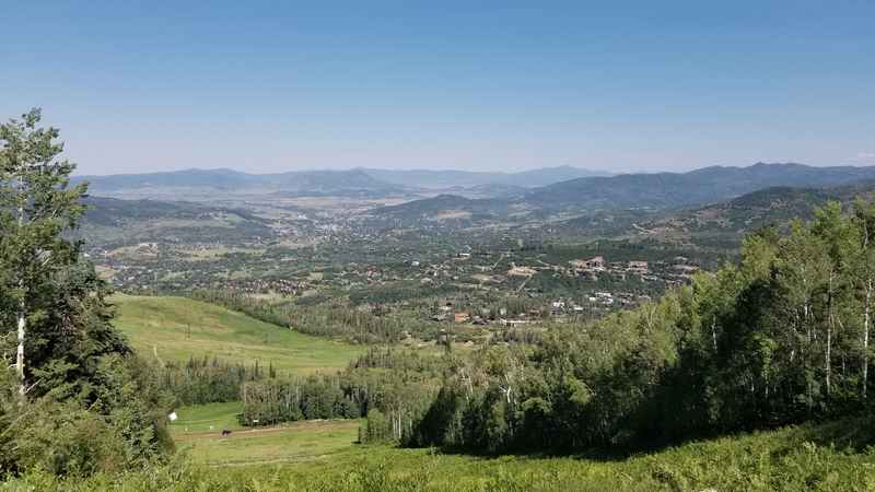
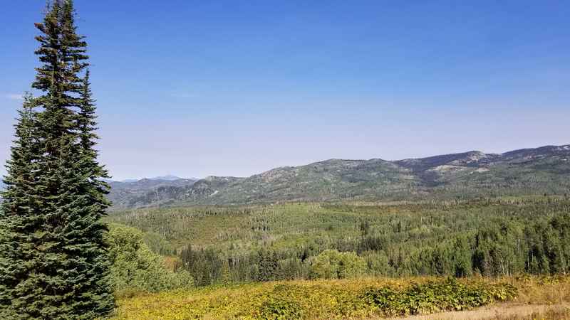
3. Blackmere Road
(2 miles, one way)
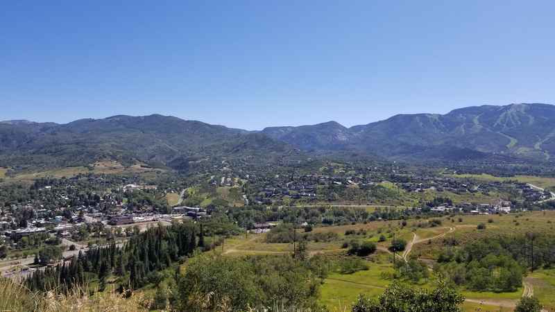
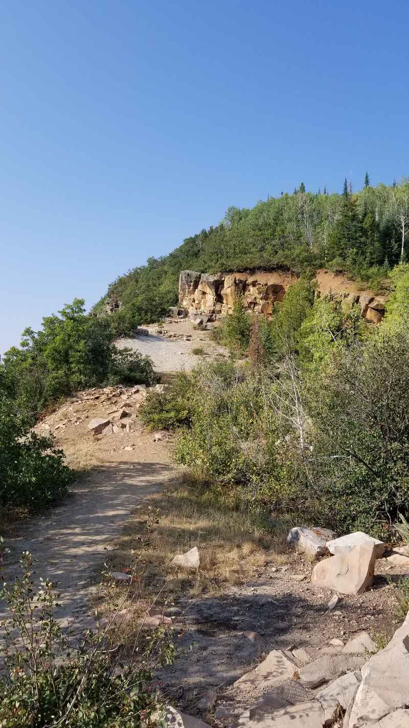
Many hikers climb all the way up to the Quarry, also known as Gloria Gossard Park, which offers amazing views of the entire valley including Steamboat Resort at Mt. Werner, and Steamboat Springs downtown. To reach this point is usually about 45-60 minutes one way.
https://www.alltrails.com/trail/us/colorado/emerald-mountain-quarry
4. Mad Creek
(4.5 mile loop for Mad Creek to FSR 128)
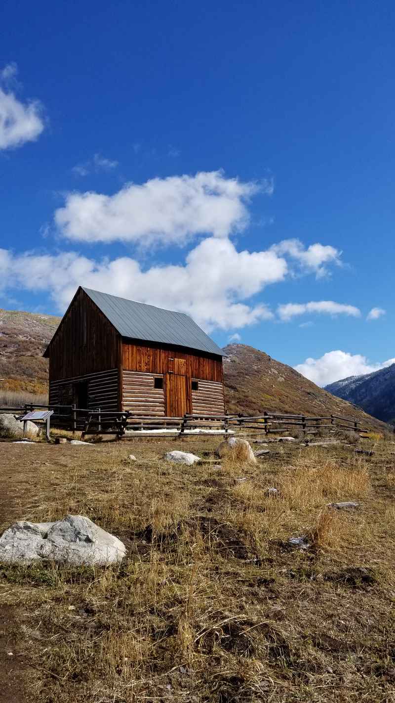
Following the loop over Mad Creek bridge, the trail continues on Forest Service Road 128 and offers views of the West Valley and the famous Sleeping Giant. This second part of the trail has the start of the Strawberry Park Hot Springs trail as discussed in #6. Another option from this trail is to hook left on the Saddle Trail and connect to the Red Dirt Trail back to Rt 129. This trailhead is found about 1.2 miles up the road so you would have to trek back on the road for a while.
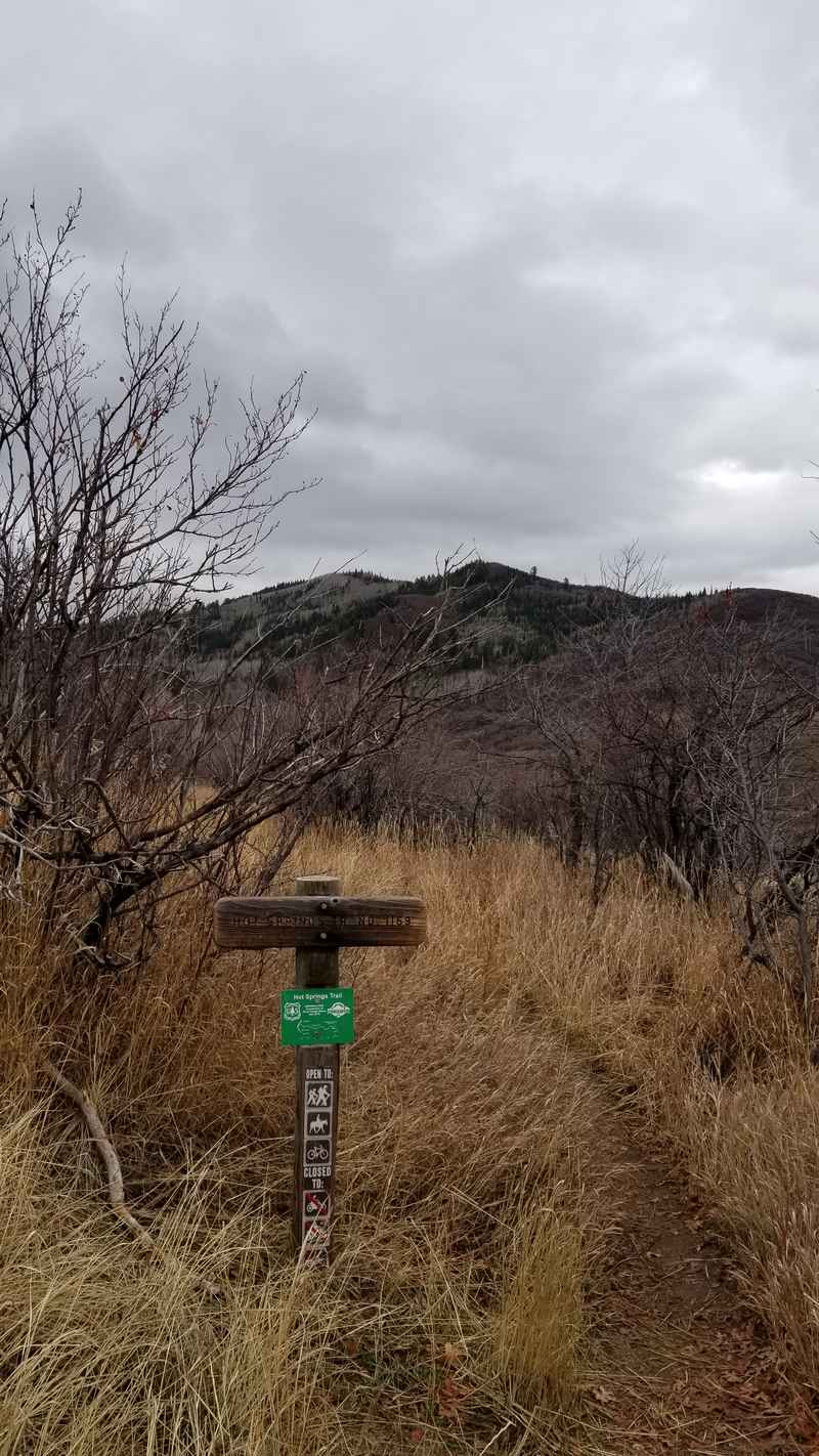
5. Strawberry Park Hot Springs
(3 miles, one way)
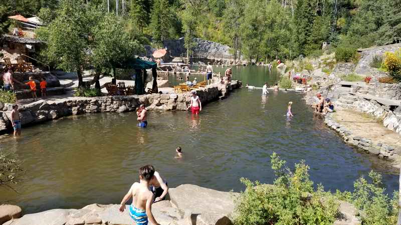
The soak is a little more satisfying after a hike, but don’t forget you’ll be taking the same 3 mile trail all the way back afterwards. There are changing rooms available at the Hot Springs.
This trail starts off the Mad Creek Trail as discussed in #4. Park in the same parking lot for the Mad Creek Trailhead and instead of heading up the ridge, walk back along the road heading south towards Steamboat Springs. You’ll follow Rt. 129 for ¼ mile and then up a private road to connect with the trail. There is a trail sign in the parking lot and some markers along the way.
https://www.alltrails.com/trail/us/colorado/strawberry-park-hot-springs
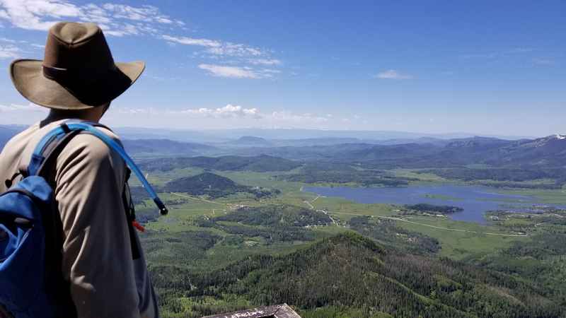
6. Thunderhead Trail
(3.81 miles, one way)
There are several hikes available from this point as well if you wanted to continue, like climbing up to Storm Peak which is another 1.5 miles or on the Vista Nature Trail which is a scenic 1 mile loop. This is a quick hike that is a favorite for families and accessible by riding the gondola up and back down.
If you hike up to the Thunderhead building, you can take the gondola down for a scenic, faster, and free ride!
https://www.alltrails.com/trail/us/colorado/thunderhead-hiking-trail
7. Rabbit Ears Peak
(3 miles, one way)
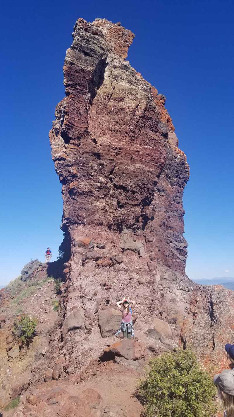
The Rabbit Ears Peak trailhead is found at the stone monument near Dumont Lake Campground. The gentle to moderate climb ends at the Rabbit Ears rock formations, with some opportunities to explore around the large rocks but be careful, some areas are slippery and the falls would be unforgiving!
This hike is particularly spectacular when wildflowers are in full bloom, typically in late June to early August.
https://www.alltrails.com/trail/us/colorado/rabbit-ears-peak-trail–3
8. Hahn’s Peak
(1.7 miles, one way)
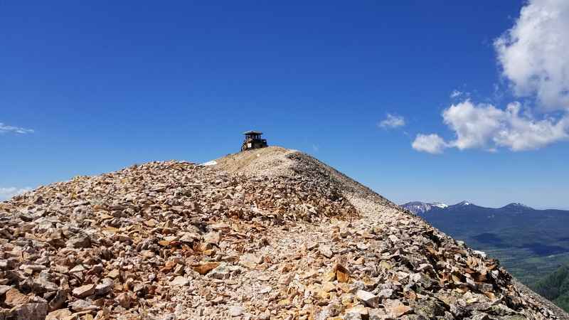
The last …. Is on loose scree at the top of this formally active volcano so be sure to wear sturdy shoes. The trailhead can be found up Route 129, past Clark, past Steamboat Lake, and right on … across from the Hahn’s Peak General Store. Once you hit a fork in the road, there is a place to park but if you have a car capable of driving on rougher roads, continue up the road about ¼ mile to the trailhead parking lot on the left.
https://www.alltrails.com/trail/us/colorado/hahns-peak-trail
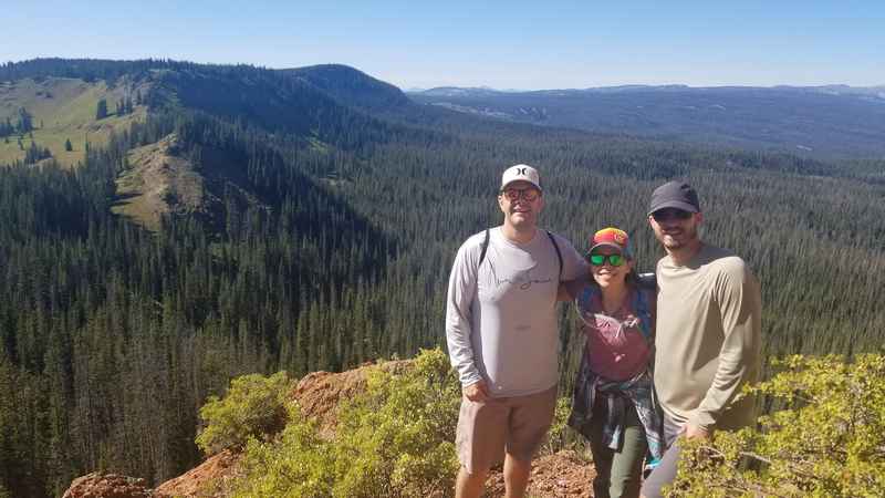
9. Zirkel Circle
(12 mile loop)
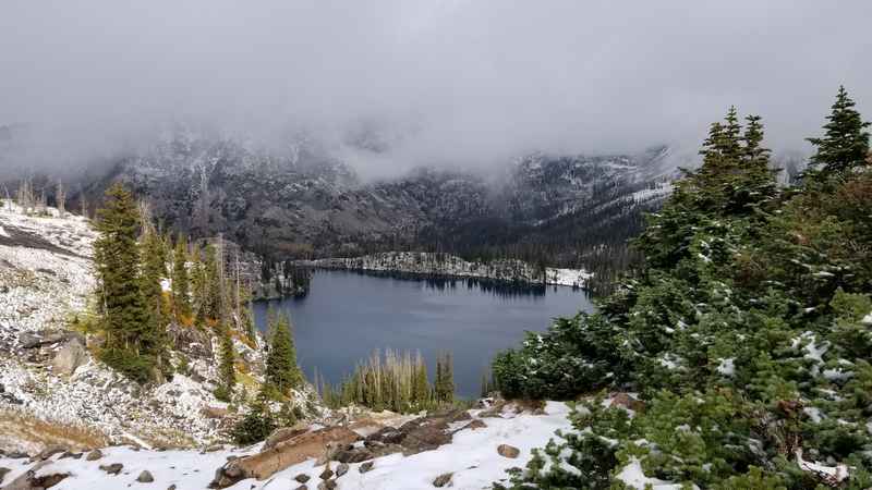
The Zirkel Circle starts at the Slavonia Trailhead found off Seedhouse Road about 1 hour out of town. Most people head clockwise on the trail towards Gold Lake. You will start climbing on your way to Gold Lake along Gold Creek, and then continue over a ridge and eventually to the saddle above Gilpin Lake.
This is truly one of the most spectacular views in the area. Now you’ll start heading downhill for the remainder of your hike. The trailhead is about 5 miles from Gilpin Lake. The Zirkel Circle does boast about 6 water crossings, which adds an element of excitement. Depending on the time of year, the flow of water may be robust so be prepared with appropriate footwear and extra socks. Most of the crossing have large logs and rocks to traverse on. Be sure to start early if you are going to attempt the entire loop!
https://www.alltrails.com/trail/us/colorado/mount-zirkel-loop-trail
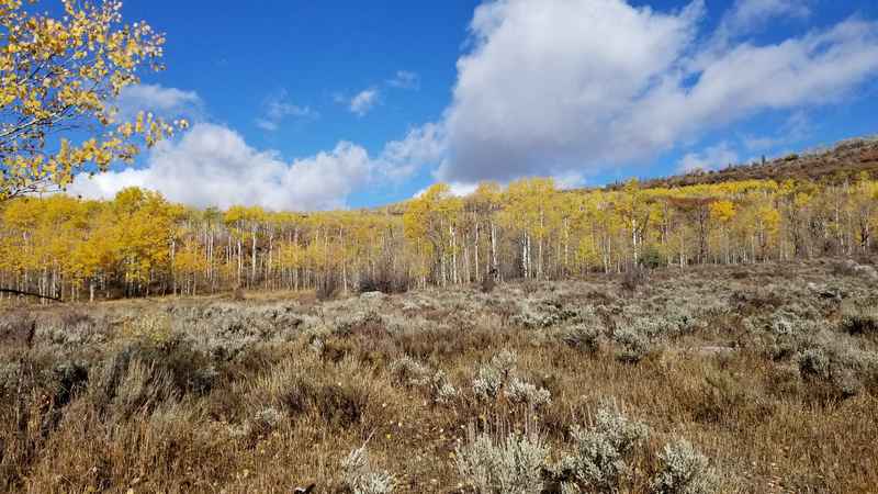
10. Flash of Gold
(11 miles, one way)
https://www.alltrails.com/trail/us/colorado/flash-of-gold-trail
This is just a snapshot of some of the most popular hikes close to town. There are too many trails in and around town to properly shout out here. A popular book among locals is “Hiking the ‘Boat” by Diane White-Crane. This is an excellent reference for how to get to various trailheads and details on every hike nearby. The Colorado Park and Wildlife office as well as the Steamboat Springs Visitor Center are other good resources. For the tech savvy, several apps make exploration and up-to-date conditions on the trails easy to access. My favorite app to use for this purpose is AllTrails.
Now go get out there!